


Quick Answer: How Were Ancient Chinese Cities Planned?
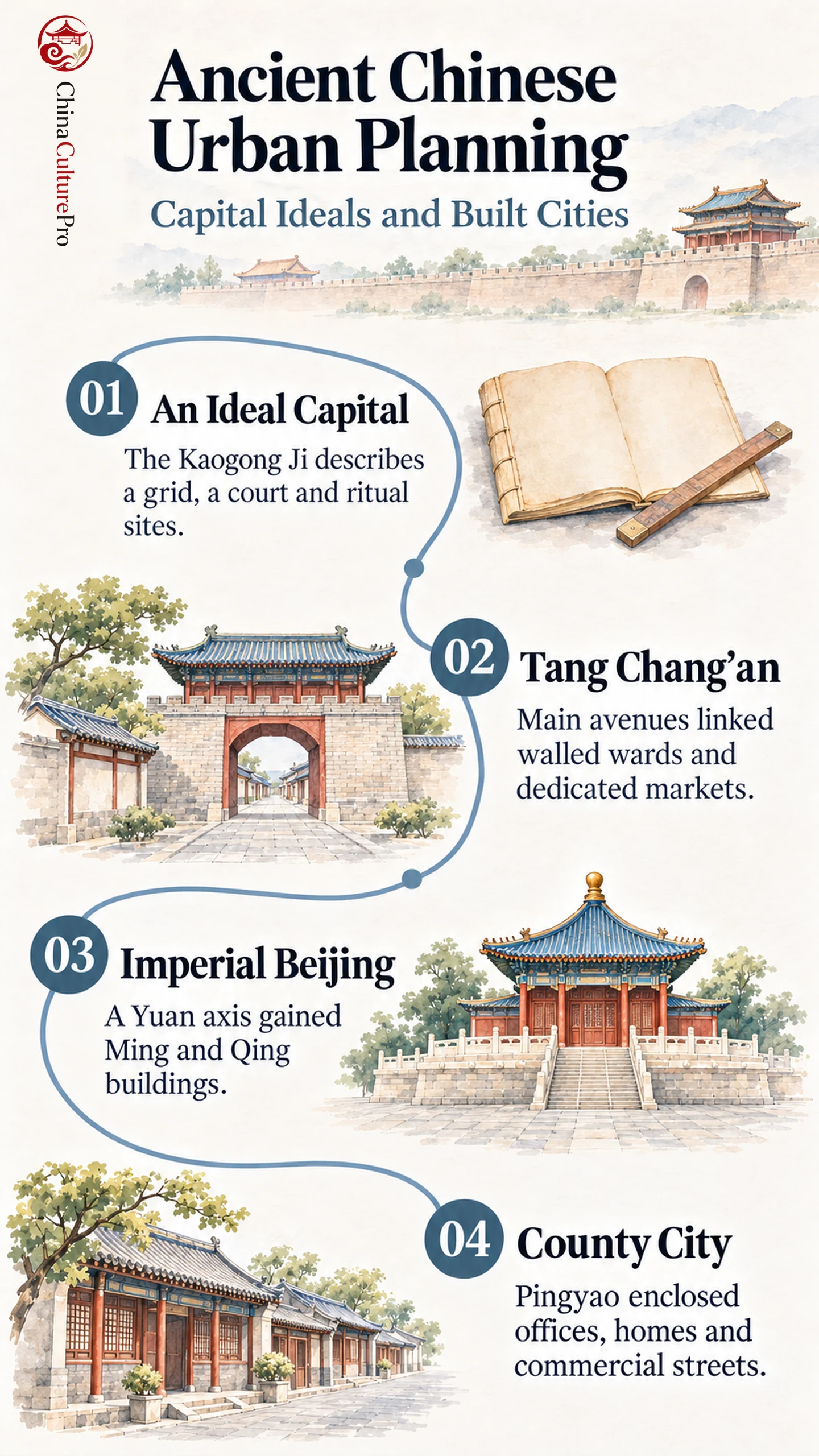
Ancient Chinese urban planning organized walls, gates and streets around the needs of government, worship and trade. Capitals could use an axis to arrange ceremonial sites. County cities could enclose offices, homes and businesses together.[1][2][5][6]
- Chang’an: Main avenues linked palace and government precincts with a grid of wards and dedicated markets.
- Beijing: A ceremonial axis connected a succession of imperial and public sites.
- Pingyao: Shops and offices lined streets inside a county city with its own administrative needs.
Look at the city’s date and purpose before comparing its plan with a classical model.
A map of Tang Chang’an puts two markets on either side of a broad avenue. A map of imperial Beijing puts the palace along a line of ceremonial buildings. Their similar geometry served different arrangements of government, trade and everyday movement.
The Capital in the Kaogong Ji
The Kaogong Ji (考工记, Kǎogōngjì), transmitted in the Rites of Zhou, describes an ideal capital in its section on builders. It gives the city a square enclosure with three gates on each side and nine north–south and nine east–west streets. It describes an ancestral temple on the left, an altar of land and grain on the right, an audience court in front and a market behind the palace.[1]
These directions describe the relationship between institutions from the standpoint of the ruler facing south. The ancestral temple served rites connected to the dynasty, while the altar associated the ruler with the land and its produce. By specifying their positions, the text gives ritual and government a place in the design alongside commerce and traffic. It also describes ways of establishing direction through observations of shadows and stars.[1]
The passage prescribes a layout. A drawing based on it tells you what the text asks builders to arrange. A dated plan or excavation can show where those arrangements were put into practice and how they changed.[1][2][5]
Chang’an: Wards, Markets and a Changing Palace District
The Sui founded a new capital in 582. The Tang dynasty inherited the city as Chang’an. The main north–south street, Vermilion Bird Avenue, led toward the original palace and government precincts. East and West markets occupied separate sites in the street grid, south of the imperial precinct. The Han capital also called Chang’an occupied a different site.[2][3][4]
A ward (坊, fāng) was a block within that plan. Ward boundaries helped structure access from major avenues, but the people and institutions inside the blocks varied. A single ward could contain homes alongside a temple or a monastery. Research on ward interiors distinguishes different densities and divisions of residential land. A map of the main avenues can identify the ward without showing how people lived inside it.[2][3]
The Tang court added the Daming Palace near the northeastern edge. Its position relative to the original ceremonial approach gives a way to see change within an otherwise strongly ordered layout. On a reconstruction, trace the main street first and then locate the palaces separately. The two palace sites tell you where the court was based at different times.[2][4]
Beijing: How a Capital Axis Survived Dynastic Change
Beijing’s north–south axis began with the Yuan capital of Dadu (大都, Dàdū). Ming and Qing rulers built and altered sites along it over several centuries. The axis runs through the Forbidden City and Jingshan Hill and relates them to gates, ritual precincts and the Drum and Bell Towers. Some ceremonial sites lie to either side of the line.[5]
A pair of sites beside the palace shows how a classical relationship could survive without the complete ideal plan. Looking south from the palace, the Imperial Ancestral Temple is on the left and the Altar of Land and Grain is on the right. The pairing recalls the positions specified in the old text. The full axis includes gates and streets used for movement as well as places set aside for ritual.[1][5]
Pingyao: What a County City Shows
Pingyao in Shanxi preserves a county city whose present historic enclosure took shape during the Ming. The circuit had six gates. Inside were county offices, temples, houses and commercial streets. Shops occupied important street frontages. In the nineteenth century, firms that transferred money between cities helped make Pingyao a banking center, and their buildings became part of the townscape.[6]
County offices and streets for trade give the enclosure a different purpose from a capital’s palace district. Read a wall as evidence for the extent of the enclosure in a particular period. Use building records, archaeology or county gazetteers to investigate what happened within it. A city can keep the same gate and street network while the premises along it acquire new uses.[6]
FAQs About Ancient Chinese Urban Planning
Did all Chinese cities follow a square grid?
Square grids were influential models. Built layouts also reflected terrain, the city’s administrative rank and later development. Compare each city with records from its own period.
What was a residential ward in Tang Chang’an?
A ward was a defined block in the city’s street plan. Wards held a mixture of residences and institutions, with differing arrangements inside their boundaries.
Does Beijing’s central axis date entirely to the Ming dynasty?
Its origins lie in Yuan Dadu. Later dynasties extended and reshaped the axis, including the palace and several ritual sites associated with Ming and Qing Beijing.
Sources
[1] Rites of Zhou, Wikisource. Kaogong Ji, section on the builders
[2] Victor Cunrui Xiong, University of Michigan Center for Chinese Studies. Sui-Tang Chang’an: A Study in the Urban History of Late Medieval China
[3] Heng Chye Kiang, Journal of the Society of Architectural Historians. Visualizing Everyday Life in the City: A Categorization System for Residential Wards in Tang Chang’an
[4] Columbia University, Asia for Educators. The Tang Dynasty in China, presentation and map of Chang’an
[5] UNESCO World Heritage Centre. Beijing Central Axis
[6] ICOMOS, UNESCO World Heritage Centre. Ancient City of Ping Yao, advisory body evaluation