


Quick Answer: Why Is Mount Wutai Sacred?
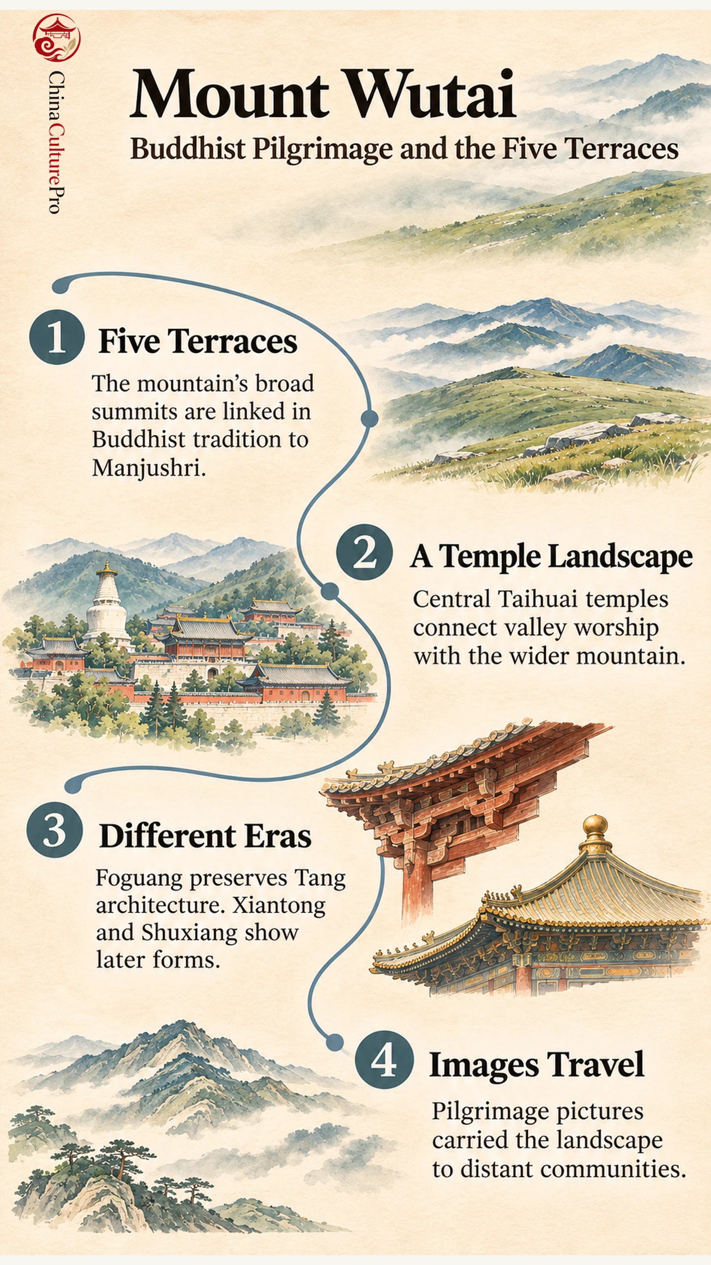
Mount Wutai (五台山, Wǔtái Shān) is a Buddhist pilgrimage landscape in Shanxi, China. Its name refers to five broad mountaintop terraces. In Buddhist tradition the mountain is associated with Manjushri (文殊, Wénshū), the bodhisattva of wisdom. Temples, paths and images give that association a physical form. [1][2][3]
- Five terraces: Pilgrimage traditions connect the summits with Manjushri. [2][3]
- A living center: Monasteries around Taihuai (台怀, Táihuái) connect valley worship with the mountain setting. [1][2]
- Time in the buildings: Xiantong Temple (显通寺, Xiǎntōng Sì), Foguang and Shuxiang show different phases and forms of Buddhist architecture. [1][2]
UNESCO inscribed Mount Wutai as a cultural World Heritage property in 2009. [4]
A temple courtyard gives one view of Mount Wutai. A map of the five terraces gives another. The places pilgrims move between explain how these views fit together. The summit landscape gives many temples their wider setting, and paintings and prints make that setting recognizable even far from Shanxi. [1][2][3]
The Five Terraces and Manjushri
The word terrace describes the shape of the five summits. Their broad tops and steep slopes give the mountain a distinctive silhouette. Religious tradition connects these peaks with forms of Manjushri, the bodhisattva of wisdom. For a pilgrim, reaching a summit can mean reaching a place associated with a particular form of Manjushri. [1][2][3]
Pilgrimage to the terraces developed through visits, patrons, local communities and temple institutions. Imperial visits are recorded in inscriptions. The mountain also attracted pilgrims beyond the immediate region and became important to Chinese, Tibetan and Mongolian Buddhists. Those connections help place it within the wider tradition of Chinese Buddhist pilgrimage and among China’s sacred mountains. [1][2][3]
The routes vary with the part of the mountain a person is visiting. The heritage assessment describes paths that connect the terraces and monasteries. At the same time, temple precincts serve as destinations in their own right. Read the landscape at two scales: the relationships between the five summits, and the smaller connections between buildings, images and activities within a temple. [1][2]
What the Temples Reveal About the Mountain
In the central Taihuai area, Xiantong Temple is a large complex with a long history of rebuilding. Early traditions place its foundation far back in the history of Buddhism in China. Its standing buildings include many later additions. A small Ming bronze hall gives a concrete example of the materials and visual forms used by later patrons. [2]
Foguang Temple’s East Main Hall stands in a western part of the listed property. The hall is dated to 857 and preserves Tang timber architecture and clay sculpture. Its western position places a major Tang building outside the central valley’s cluster. Architectural details there help readers examine how Buddhist temple buildings framed images and rituals. [1][2]
Shuxiang Temple in the central area gives a later example. Its sculptural scenes set figures among modeled mountains and water. Where Foguang’s hall offers evidence of construction and image placement in the Tang, Shuxiang shows how later worshippers encountered stories through a more enveloping sculptural landscape. [1][2]
Tayuan Temple’s White Pagoda gives a further reason to read different parts of the valley together. The assessment connects the pagoda’s reconstruction around 1301 with a Nepalese architect and describes later work under the Ming. Nearby Pusading also changed as imperial patronage and Tibetan Buddhist institutions became more prominent. The valley shows how building forms and religious practices moved across communities. [2][6]
How Pilgrimage Images Carry the Landscape Elsewhere
The map of Mount Wutai on the west wall of Cave 61 at the Mogao Caves shows a sacred landscape hundreds of miles from the place depicted. The tenth-century mural brings buildings, routes and religious figures into one image. The mural shows that communities far from Shanxi could engage with the pilgrimage landscape through images. [3][5]
A later panoramic print in the Rubin Museum’s collection layers Chinese, Tibetan, Mongolian and Manchu associations. Pilgrimage images could serve as guides, keepsakes or a way to contemplate the destination from afar. When reading one, look for places someone could visit and for figures or events that are part of the religious story. Both help explain why the mountains mattered. [3][6]
The Rubin print was made at Cifu Temple in 1846. A Mongolian monk, Lhundrup, carved the design. Chinese and Tibetan labels mark buildings, sacred objects and places associated with remembered events. The artist enlarged Pusa Ding and drew paths between sites, emphasizing the monastery’s place in the religious landscape. It gives the viewer a way to see which places mattered to particular pilgrims. [3][6]
FAQs About Mount Wutai
Where is Mount Wutai?
It is in Shanxi Province in northern China. Taihuai is the central temple area, and the wider cultural landscape includes the five peaks and outlying sites. [1][2]
Why is it called Five Terrace Mountain?
The name refers to its five broad summit terraces. The terraces also organize religious associations and pilgrimage routes. [1][2]
Is Mount Wutai a cultural or natural World Heritage site?
The World Heritage Committee inscribed it under cultural criteria in 2009. It recognized the relationship between the mountain setting, temples, patronage and pilgrimage. [4]
Sources
[1] UNESCO World Heritage Centre. Mount Wutai
[2] ICOMOS assessment. Mount Wutai nomination evaluation
[3] Rubin Museum Project Himalayan Art. Panoramic Map of Mount Wutai
[4] UNESCO World Heritage Committee. Decision 33 COM 8B.7
[5] Religions. Mapping the Sacred Landscape
[6] Rubin Museum of Himalayan Art. Panoramic Map of Mount Wutai, C2004.29.1