

Quick Answer: How Do the Honghe Hani Rice Terraces Work?
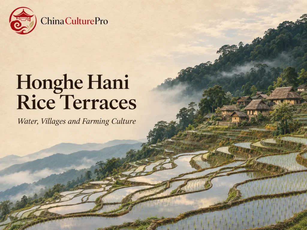
The Honghe Hani Rice Terraces (红河哈尼梯田, Hónghé Hāní Tītián) are a living landscape in southern Yunnan. Forested slopes help sustain the water supply. Above the paddies, villages maintain channels and allocate flows. Water moves through terraced fields and into the valleys below. UNESCO listed the landscape in 2013. [1][2][3]
- Uphill: Forests and mountain springs sustain flows used by the fields. [1][3]
- Mid-slope: Villages connect the headwater forests to the agricultural land. [1][3]
- In the paddies: Rice cultivation can be combined with animals such as fish and ducks. [1][3]
Follow the slope from forest to valley to see why the heritage site includes more than the fields.

The horizontal edges of a terrace photograph catch the eye first. The water behind those edges comes from farther up the mountain, and its route follows choices villagers make at junctions, ditches and fields. Trace the water downhill and the forest, village and fields start to read as one system. [1][3]
How Forests, Villages, Terraces and Rivers Connect
On the south side of the Hong River, terraces follow the slopes of the Ailao Mountains. Above them, protected forest helps capture water and sustain springs. Villages stand between forest and fields. Below them, the terraced landscape descends toward streams and the river valley. This arrangement lets communities make use of flows across a steep landscape. [1][3]
Compare Bada, Duoyishu and Laohuzui on a map of the listed property. UNESCO describes a gentler gradient at Bada and a much steeper one at Laohuzui. Even within the same agricultural system, slope affects the shape and scale of the terraces. UNESCO’s main property record gives the listed area as 16,603 hectares and describes 82 villages. The wider terraces region covers an area beyond that boundary. [1][2][4]
Who Maintains the Channels and Shares the Water
Channels catch water flowing from forests and springs and guide it across the slopes. The World Heritage account records four main canals and 392 branch ditches. Those figures describe the documented network, which includes both major channels and the small branches delivering water to fields. Communities maintain parts of the network together, because the condition of an upstream ditch affects plots farther down. The infrastructure is a local example of irrigation knowledge in Chinese agricultural history. [1][3]
The agricultural heritage proposal hosted by FAO documents a way to divide flows using wood or stone at a ditch junction. Openings of different sizes send different shares into branches. The opening for a branch can reflect its irrigated area, the available flow and local priorities. The sizes of the openings turn an agreed allocation into a physical division of the flow. [3]
The same report describes a ditch leader who helps clear channels, distribute water and handle disputes. Some households contribute rice to compensate for that work. These practices illustrate how a water system depends on agreements and maintenance as well as on gravity. Forms of cooperation vary by community. [3]
What Grows in the Terraces and What the Villages Contribute
Red rice is one prominent crop in the listed landscape. The heritage sources also describe local varieties and farming that can include fish or ducks in paddy water. The paddy can produce grain along with other food. Households and villages may maintain different combinations of crops and animals. Read the terraces as a particular example of rice farming in Chinese culture. [1][3]
The villages also have their own built heritage. UNESCO describes traditional dwellings with earthen or masonry walls and tall thatched roofs, sometimes called mushroom houses. Their placement below forests and above fields makes the household part of the same water landscape. The guide to Hani culture covers the wider traditions of Hani communities beyond this particular site. [1][3]
Forests above the houses also have different roles. The heritage record describes some areas in relation to water, others as sources of materials, and others as places with religious significance. A single forest label on a map can cover several uses and obligations. Those differences explain why protection of the upper slope includes both environmental management and village traditions. [1][2][3]
Keeping the whole system working is part of conserving the site. Keeping a field wall standing is one part of the work. Headwater forests, functioning ditches and organized farming keep the terrace system in use. That combination is what makes Honghe an example of living agricultural heritage. [1][2][3]
FAQs About the Honghe Hani Rice Terraces
Where are the Honghe Hani Rice Terraces?
The listed landscape is in southern Yunnan, on the slopes of the Ailao Mountains south of the Hong River. [1][2]
Where does the irrigation water come from?
Rain and springs supply water in the upper slopes. Channels and ditches carry it downhill and divide it among fields. [1][3]
Does the UNESCO site include villages and forests?
Yes. The listed cultural landscape includes terraces, villages, forests and the water system that connects them. [1][2]
Sources
[1] UNESCO World Heritage Centre. Cultural Landscape of Honghe Hani Rice Terraces
[2] UNESCO World Heritage Committee. Decision 37 COM 8B.24 on the Honghe Hani Rice Terraces
[3] Food and Agriculture Organization. Hani Rice Terraces System, agricultural heritage case study
[4] Food and Agriculture Organization. Proposal for the Hani Rice Terraces System