
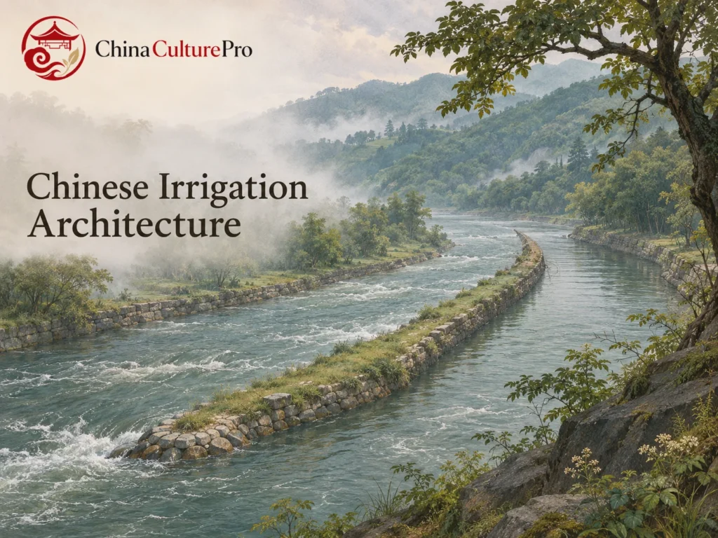

Quick Answer: What Is Chinese Irrigation Architecture?
Chinese irrigation architecture comprises structures that guide water to fields. Dikes and weirs can divide a river or pass surplus water, while canals, ditches and smaller dividers distribute the supply. The layout depends on terrain, the source of water and the fields it serves.[1][2][4][5]
- Divide: A dike can send part of a river into a supply channel.[1][2]
- Release: A spillway can give excess water and sediment another route.[2][3]
- Deliver: Smaller channels and outlets carry shares of the flow to cultivated land.[4][5]
At Dujiangyan the main structures work at river scale. At the Honghe Hani terraces, part of the distribution happens at small ditch junctions.[1][2][4][5]

Start where water enters, then follow it downstream. The outline of a channel only tells part of the story. Its connections explain which fields it can serve and how the network handles changing flows.[1][4][5]
Three Structures at Dujiangyan
Construction of Dujiangyan began around 256 BCE on the Min River in Sichuan, under the direction of the Qin official Li Bing. The Fish Mouth Dike (鱼嘴, yúzuǐ) divides the flow into outer and inner channels. The outer channel follows the river’s course, while the inner channel supplies the diversion toward the Chengdu Plain.[1][2]
The Flying Sand Weir (飞沙堰, fēishāyàn) lets surplus water and part of its sediment spill from the inner toward the outer channel. The Bottle-Neck Channel (宝瓶口, bǎopíngkǒu), a narrow passage cut through rock, leads water toward the irrigation canals. The three structures work together to split, relieve and convey the flow. The restricted opening of the intake also helps check how much water enters the canal network at high river levels.[1][2][3]
Water Allocation on the Honghe Hani Terraces
In the Honghe Hani cultural landscape in southern Yunnan, channels carry water from forested slopes to terraces below. Villages lie between the upland forests and the cultivated slopes. Water distribution continues after the supply reaches the terraces.[4][5]
A FAO case study describes dividers made of wood or stone. Outlets carved to different sizes allocate parts of the flow to smaller ditches. The outlet sizes reflect the area served by each branch, the flow in the main ditch and established irrigation priorities.[5]
Maintenance Is Part of the Water System
An irrigation structure stays useful through maintenance. The nomination dossier records annual maintenance regulations in the Song period, when the canal network was also expanded.[3] Later repairs used newer materials to keep the headworks in service. The historical design and the date of a visible component can therefore differ.[1][2]
In the Hani system documented by FAO, a ditch leader clears channels, allocates water and resolves disputes over its use. Those duties keep each small structure working as part of a larger network. Irrigation offers a way to read Chinese architecture at the scale of a whole landscape.[4][5]
FAQs About Chinese Irrigation Architecture
Where does the irrigation water enter at Dujiangyan?
The Fish Mouth divides the river into two channels. Water from the inner channel reaches the irrigation network through the Bottle-Neck Channel.[1][2]
What does the Flying Sand Weir do?
It gives surplus water and some sediment a route from the inner toward the outer channel.[2][3]
How did small dividers help supply the Hani terraces?
Openings of different sizes in wood or stone divided ditch water into shares for smaller channels.[5]
Sumber
[1] UNESCO World Heritage Centre. Mount Qingcheng and the Dujiangyan Irrigation System
[2] ICOMOS. Evaluation of Mount Qingcheng and the Dujiangyan Irrigation System
[3] World Heritage nomination dossier. Dujiangyan Headworks and Their Water-Control Functions
[4] UNESCO World Heritage Centre. Cultural Landscape of Honghe Hani Rice Terraces
[5] FAO. Hani Rice Terraces: Agricultural Heritage Case Study