


Quick Answer: How Do You Look Up a Place in China Historical GIS?
To look up a historical place, enter its name and the year of the source you are reading in the Temporal Gazetteer (时序地名数据库, shíxù dìmíng shùjùkù). Open a record that covers your date, then compare its administrative type, parent jurisdiction, location and source note with the document you are reading. China Historical GIS, or CHGIS, supplies dated records for many dynastic administrative units. [1][2]
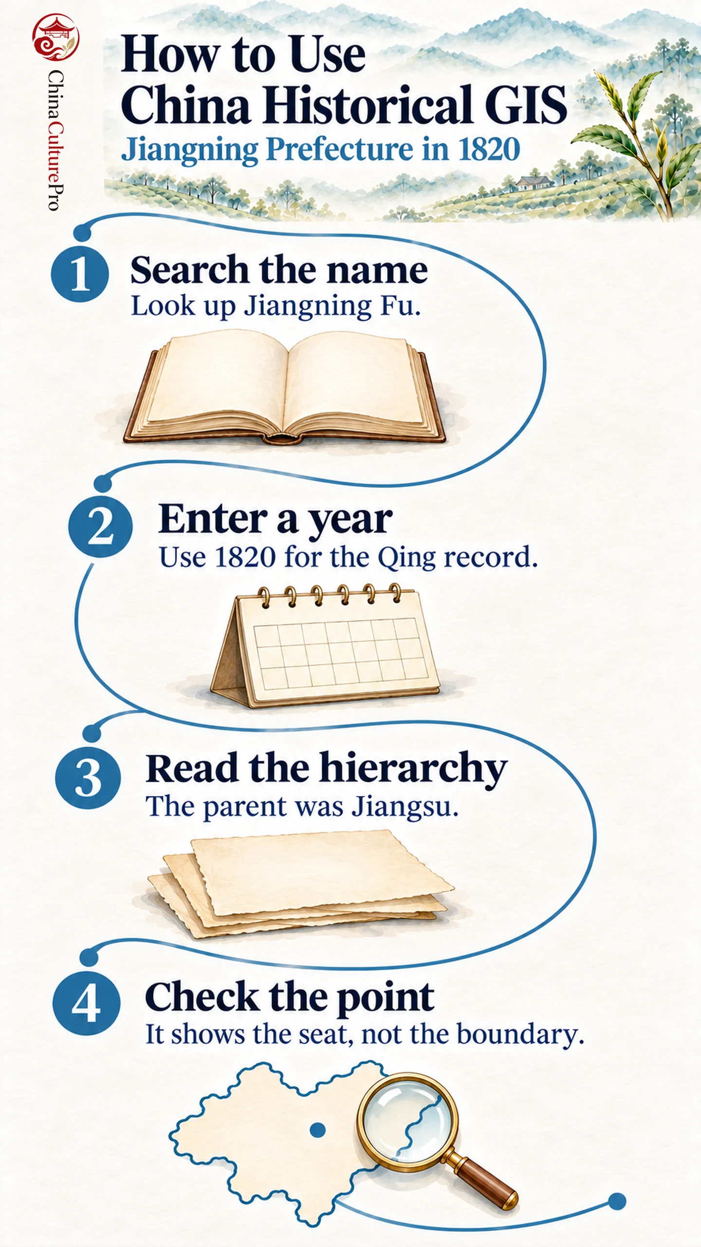
- Name: Start with the Chinese characters used in your source.
- Date: Compare the year with the record’s documented time span.
- Hierarchy: Check whether the entry is a prefecture, county or town and which unit it belonged to.
A point can locate a historical seat or settlement. The boundary of an administrative unit requires separate evidence. [2][3]
A place name can survive a change of government, refer to several levels of administration or appear again centuries later. A date and a parent jurisdiction often tell you more than the name alone.
Look Up Jiangning Prefecture in 1820
- Open the gazetteer: Follow the Temporal Gazetteer link in the sources below. Have the original spelling and the year of your document at hand. [1]
- Enter the name and year: In the name field, enter 江寧府. In the year field, enter 1820. Choose CHGIS as the data source if the form prompts you, then submit. [1][3]
- Open the Qing prefecture record: Find Jiangning Fu, record hvd_32285, dated 1645–1911. Check that it is a prefecture and that Jiangsu is its parent in 1820. [3]
- Read the note and save the result: Record the identifier, the date you entered and the parent unit. The source note explains that the Qing renamed the preceding Yingtian prefecture in 1645 and documents later changes. [3]
The same spelling can refer to records from other periods. Compare an earlier year if the name alone leaves the identification uncertain. For instance, CHGIS has a separate Jiangning Fu record covering 1018–1128. Both records give the same point coordinates for the prefectural seat. Their parent jurisdictions and documented administrative histories differ. [3][4]
What a Record Tells You
| 欄目 | Jiangning example | What you can infer |
|---|---|---|
| Name and type | Jiangning Fu, prefecture | The source refers to an administrative unit above a county |
| Time span | 1645–1911 | The Qing record covers the example year |
| Parent unit | Jiangsu, 1667–1911 | The prefecture was part of Jiangsu in 1820 |
| Point and source note | Seat location and cited historical records | Where the seat was recorded and how the compilers support the entry |
If a record shows a point, use it to orient yourself. If your question concerns the territory under a prefecture, consult a dated boundary layer or a source that documents the border. CHGIS provides year-specific datasets and time-series data. Compare the same dates when reading a map and a gazetteer entry together. [2][3]
How to Handle a Name That Appears Twice
Widen the search when an exact spelling fails, then compare the alternatives by year, unit type and parent jurisdiction. The guide to reading historical Chinese place names explains what administrative suffixes can tell you. For questions about the source map itself, the history of Chinese cartography provides context for what a map’s makers chose to show. [1][2]
FAQs About China Historical GIS
Can I search in Chinese characters?
Yes. The search form accepts Chinese characters. A record can show traditional and simplified forms as well as a romanized form. [1][3]
Is Jiangning Fu the same unit as Jiangning County?
The Qing record shows Jiangning County among the prefecture’s subordinate units. The suffix and the parent field identify their relationship. [3]
Does the same point mean the same historical boundary?
The Qing and Song Jiangning Fu records have the same point coordinates. Their dates and jurisdictions differ, so check boundary evidence for the year you are studying. [3][4]
資料來源
[1] Fudan University and Harvard University. CHGIS Temporal Gazetteer Search
[2] Harvard Center for Geographic Analysis. China Historical GIS Project and Data Layers
[3] China Historical GIS. Jiangning Fu Qing Record hvd_32285
[4] China Historical GIS. Jiangning Fu Song Record hvd_32298