

Quick Answer: What Is the Beijing Central Axis?
The Beijing Central Axis (北京中轴线, Běijīng Zhōngzhóuxiàn) is a 7.8-kilometer north–south arrangement through the historic city, from the Bell and Drum Towers to Yongdingmen Gate. It brings together palaces, gates, ritual precincts and public spaces. UNESCO inscribed the 15-component ensemble in 2024. [1][2][3]
- Origins: The northern alignment began in the Yuan capital of Dadu. [1][4]
- Imperial city: Ming and Qing builders and officials developed the palace, gates and ritual precincts along and around it. [1][4]
- Modern city: Tiananmen Square adds a later public layer to the route. [4]
A map shows both the line through the center and the sites deliberately placed to either side.
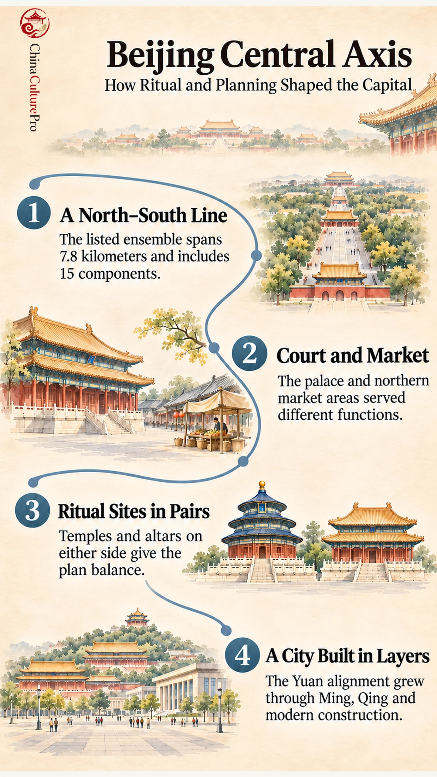
From Jingshan Hill, the palace roofs lead the eye south along the city’s historic axis. Turn to a map and more relationships come into view. The alignment continues beyond the palace. Several ritual sites stand in pairs on either side. Seeing both the line and the spaces beside it is the simplest way to understand what Beijing’s planners shaped. [1][2][3]
What Lies Along the Axis from North to South
The World Heritage map counts 15 components, including two precincts that flank the palace area and two that flank the southern section. The groups below follow the layout from north to south. The rows containing pairs name components on either side of the line. [1][3]
| Part of the Ensemble | Components to Look For |
|---|---|
| Northern city | Bell and Drum Towers, Wanning Bridge, Jingshan Hill |
| Palace and flanking ritual precincts | Forbidden City, Imperial Ancestral Temple, Altar of Land and Grain |
| Ceremonial approach and public square | Upright Gate, Tiananmen Gate, Outer Jinshui Bridges, Tiananmen Square Complex, Zhengyangmen Gate |
| Southern ritual precincts | Temple of Heaven, Altar of the God of Agriculture |
| Southern road and gate | Southern Section Road Archaeological Sites, Yongdingmen Gate |
The grouping makes it easier to find road and bridge remains among the major buildings. Wanning Bridge is evidence of the Yuan alignment. The archaeological sites in the southern road preserve part of the route between later buildings. [3][4]
How Court, Market and Ritual Shaped the Plan
UNESCO relates the layout to the Book of Diverse Crafts (考工记, Kǎogōngjì), a text describing how an ideal capital might be organized. The comparison helps explain why an axis could connect civic, ceremonial and practical functions. The Forbidden City gives the alignment its palace center. Toward the northern towers, historical markets show a different use of city space. The layout supplies a concrete example for studying ancient Chinese urban planning. [1][2]
The Bell and Drum Towers stood in a residential and commercial area, and for centuries they announced time using bells and drums. The towers show how a feature of the capital plan could serve the rhythms of ordinary city life. Their function later changed. Beijing’s municipal account notes that a public education center was established in the Drum Tower in 1925 and used the Bell Tower as its cinema. [8]
Near the palace, the Imperial Ancestral Temple lies to the east and the Altar of Land and Grain to the west. The temple housed rites for imperial ancestors. The altar’s rituals concerned the land and harvests. Their corresponding positions gave two different sets of rites a balanced place in the plan. [1][2][3][5]
Further south, the Temple of Heaven lies on the eastern side of the axis. Across the axis stands the Altar of the God of Agriculture. Their relationship makes the agricultural calendar and rites connected with harvests visible beyond the palace precinct. The pairs balance the plan even where the two sites differ in size, form and purpose. [1][3][6]
How the Axis Changed Across Dynasties
The axis began to take shape in the Yuan capital, Dadu, in the thirteenth century. The northern section still contains material traces of that city. Ming construction in the fifteenth and sixteenth centuries built the palace core and shaped the southern outer city. Important structures and spatial relationships survived Qing modifications. A map of the present ensemble brings those building phases together. [1][4]
The Tiananmen Square area also shows how later generations could use the same orientation. The gate and the Outer Jinshui Bridges have earlier origins, while parts of the square complex took shape between the 1950s and the 1970s. The gate is associated with the proclamation commemorated on China National Day. These public and civic associations are a later layer in an inherited layout. [4][7]
FAQs About the Beijing Central Axis
Is the Beijing Central Axis the same as the Forbidden City?
The Forbidden City is one component. The larger ensemble extends through the historic city and includes gates, temples, roads and public buildings. [1][3]
How long is the listed axis?
The listed alignment runs about 7.8 kilometers between the northern Bell and Drum Towers and Yongdingmen Gate in the south. [2]
Why are sites off the central line part of the listing?
Their placement helps express the balance of the plan. The paired ritual precincts are a clear example. [1][2][3]
資料來源
[1] UNESCO World Heritage Centre. Beijing Central Axis: A Building Ensemble Exhibiting the Ideal Order of the Chinese Capital
[2] Beijing Municipal Government. Beijing Central Axis Inscribed on UNESCO World Heritage List
[3] UNESCO nomination map. Map showing the boundaries of the nominated property
[4] UNESCO nomination dossier supplementary information. Historical and conceptual background
[5] Beijing Municipal Government. The Imperial Ancestral Temple
[6] Beijing Municipal Government. Top 10 Historic Sites along Beijing Central Axis
[7] State Council English Portal. 國慶節
[8] Beijing Municipal Government. The Bell and Drum Towers