


Quick Answer: What Were Ming Fish-Scale Land Registers?
Ming fish-scale registers (鱼鳞图册, yúlín túcè) recorded land parcel by parcel for purposes such as taxation. The name comes from the appearance of adjoining plots drawn in sequence, like fish scales. A Wanli-era register from Xiuning County in Huizhou gives a surviving example.[1][2]
- Unit: A particular parcel, such as a field or pond.
- Clues: A plot drawing, location and recorded area help identify the land.
- Use: Officials could compare land claims and assess fiscal obligations.
A plot diagram helps identify nearby boundaries. Its proportions alone cannot establish surveyed distances.
The small shapes in a fish-scale register make sense when read alongside the writing. A name, area or reference to an adjoining plot may tell you more about a parcel than the outline itself.
How to Read a Plot Entry
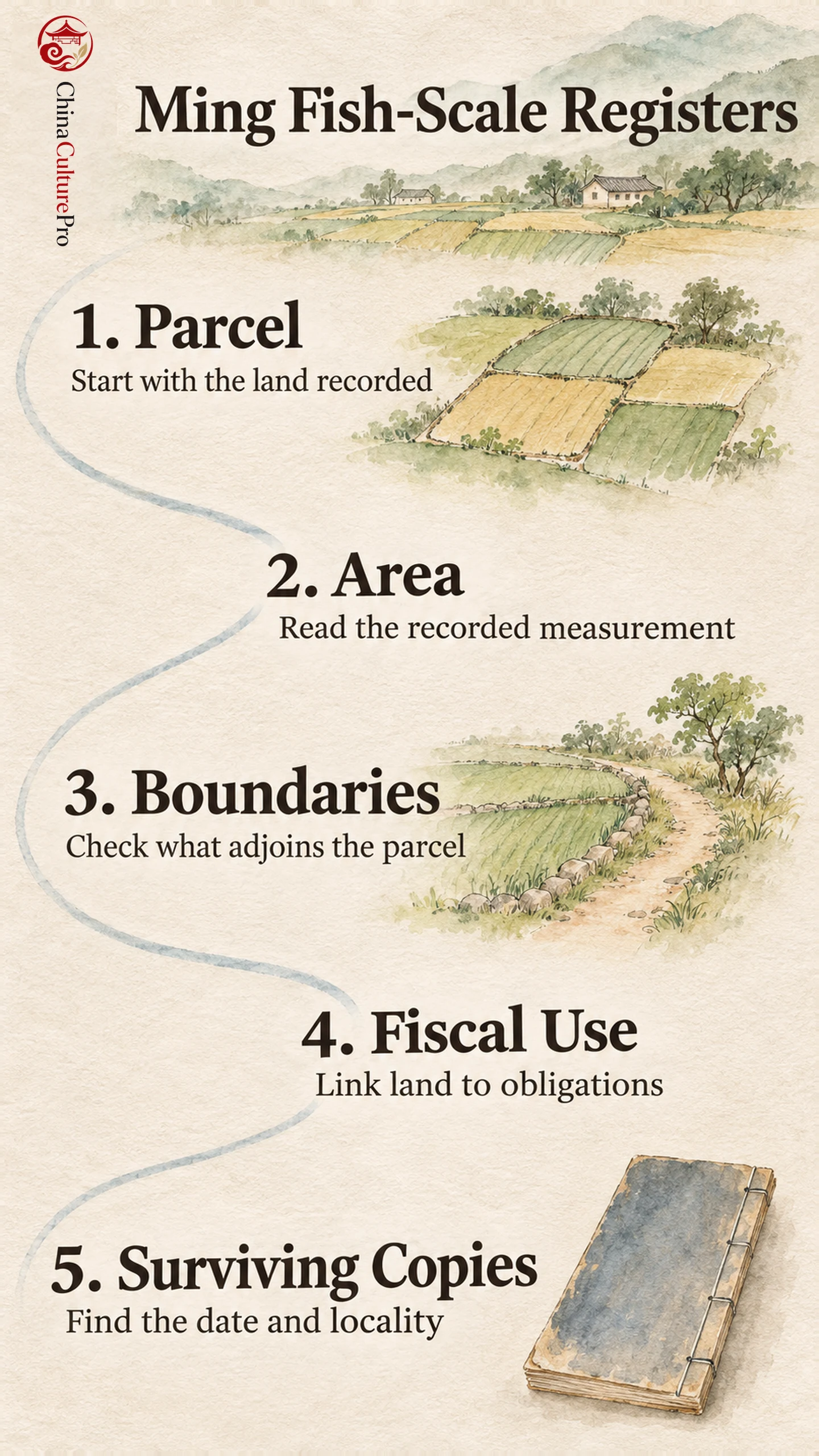
Begin with the locality and the recorded area. Then look for the four boundaries (四至, sìzhì), a description of what the parcel met in each direction. A sketch can help make sense of those relationships. Water and non-arable land could also appear in the records, so the shapes need to be read with their descriptions.[1][2]
These documents belong to the history of Chinese cartography because they use drawing to organize information about land. Read the drawing for relationships between parcels. For exact measurements, look for an explicit figure or a separate survey.
Land Registers and Household Registers
Early Ming surveys helped officials establish which lands were recorded as government or private holdings and what obligations attached to them. In Huizhou, local personnel gathered information under official supervision, and register entries could be consulted when people drew up contracts.[2]
The same territory could appear in the lijia system and in land records through different units. The yellow registers began from households. Fish-scale records began from parcels. Assigning land to a fiscal unit and documenting the household that owned it were separate questions.
What the Surviving Records Show
A surviving Ming volume from Xiuning dates to the Wanli reign, which ran from 1573 to 1620. Huang Zhongxin also describes the reuse of earlier registers in parts of Huizhou and of older Qimen records in disputes concerning mountain and woodland holdings.[1][2]
A Qing study of Xiuning shows how a later compilation recorded a district’s boundaries and linked them to taxation. It helps explain why local officials kept using this form, while also showing why the date of a given volume matters.[3] When comparing two entries, check that both use the same area unit and concern the same locality.
FAQs About Ming Fish-Scale Registers
Did the Ming Invent Fish-Scale Registers?
Earlier forms existed under the Song. Ming surveying and fiscal administration extended their use.
Were the Drawings Maps of Whole Counties?
A register could organize parcels within a locality. The sketches and descriptions are best read at the level of the land they identify.
Sumber
[1] National Bureau of Statistics of China. Ming Fish-Scale Registers and Land Statistics
[2] Huang Zhongxin. Formation, Use and Revision of Early Ming Fish-Scale Registers
[3] Wang Qingyuan. The Huizhou Fish-Scale Registers in the Early Qing