

Quick Answer: What Is the Selden Map?
The Selden Map is an early seventeenth-century Chinese map of maritime East and Southeast Asia. Painted with ink and colour on paper, it draws a network of routes with Quanzhou, in Fujian, as an important junction. The Bodleian Libraries in Oxford hold the map.[1][2][3]
- Ports: Locate Quanzhou and compare it with the ports connected by lines farther from China.[1][2]
- Headings: Trace one route’s straight sections and relate the labels to the compass rose.[2]
- Scale: Read the scale alongside the proposed interpretation of the route lengths as units of sailing time.[2]
The map is a historical object. Its lines, port labels and scale help explain the navigation knowledge it preserves. The exact maker and place of production remain uncertain.[2][5]
Look at the sea on the Selden Map and the lines between the ports stand out. This unusual Chinese map puts merchant routes at the centre of the picture. Start with those routes, then use the compass labels and the scale to see how a reader might have read the page.
How to Read a Route on the Selden Map
1. Find the route junction
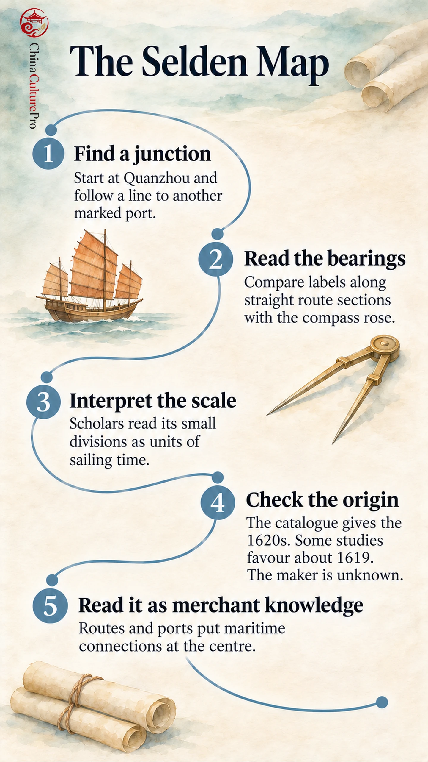
Open the Digital Bodleian image under shelfmark MS.Selden supra 105. Find Quanzhou in Fujian and trace one line outward to a connected port. The wider network reaches Japan and Indonesia. Some labelled ports are drawn without a route line, so a place label and a drawn connection carry different information.[1][2][4]
2. Compare a segment label with the compass rose
Follow one straight segment between changes of direction. Read the label beside it, then compare it to the compass rose near the top. The headings record a direction for parts of a journey. The whole stretch can include several sections with different headings.[2]
3. Check how researchers interpret the scale
Look at the scale bar near the compass rose. The map leaves its unit unnamed, but scholars have interpreted the short divisions as units of sailing time, each a ship’s watch (更, gēng). That reading helps account for why the marked length of a route can reflect sailing duration, alongside compass directions written by segments.[2]
When and Where Was the Selden Map Made?
The Bodleian catalogue dates the map to the 1620s. Some research argues for a date around 1619, and other dates have been proposed. Those estimates draw on evidence such as the place names and political details shown. Quanzhou’s prominence tells us about the route network, while the location of the workshop remains uncertain.[1][2][3][5]
The name “Selden” follows the English collector John Selden. The map entered Oxford’s collection in 1659 through his bequest. Its earlier route into his possession is debated, and the Bodleian record also documents a later layer of Latin annotation. These are distinct parts of the object’s history.[1][3][5]
What Makes a Merchant Map Different?
The map gives unusual prominence to the seas and the routes between ports. Read with an overview of Chinese cartography, it offers one example of how a maker could organise geographic knowledge around sailing. The broader Maritime Silk Road history sets the region’s long-running connections in context.[1][2]
FAQs About the Selden Map
Did John Selden make the map?
John Selden owned it and left it to the Bodleian. The maker of the Chinese map has not been securely identified.[1][2][3]
What do the lines on the Selden Map show?
The lines trace sailing routes between ports. Many segments have labels indicating compass headings. The scale is commonly interpreted in relation to sailing time.[1][2]
Sumber
[1] Bodleian Libraries. The Selden Map of China Conservation Project
[2] Journal of Archaeological Method and Theory. Digital Navigator on the Seas of the Selden Map of China
[3] Digital Bodleian catalogue, via Biblissima. MS.Selden supra 105: Description and Dating
[4] Digital Bodleian. Selden Map Object and Digital Image
[5] Kären Wigen. Review of Two Studies of the Selden Map